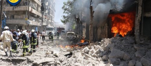
After an earthquake, a tsunami or any Natural Disaster, humanitarian organizations deploy at the spot. But to determine what type of assistance is needed and in what specific locations, they must use helicopters that fly over disaster areas or have teams on the ground. In addition to being dangerous, these methods require a considerable sum of money. But things could evolve through Facebook.
According to The Verge, the social network says it is ready to help humanitarian associations by allowing them to have an aerial view almost instantaneously after the disaster.
And this is what the social network names "Disaster Maps", a tool in test phase presented Wednesday, June 7 in a blog.
A beta version is being tested
The principle is simple: maps will aggregate the data collected by Facebook in the areas concerned to provide crucial information during and after the crisis. This data, which will be anonymized, will make it possible to "give a complete picture" of the situation on the ground.
A beta version of the tool is being tested by three agencies: the World Food Program (WFP), UNICEF and the International Red Cross and Red Crescent Movement. Facebook shares three types of information with them. First, via the now famous Safety Check, which is used in particular during terrorist attacks, NGOs can find out where the people are safe.
Facebook will provide a map of the density of the places concerned to determine where the groups of people are located before, during and after the disaster. The social network believes that, combined with the information obtained by satellite, this data will provide an accurate visualization of the situation on the ground.
Finally, the firm of Mark Zuckerberg is also committed to providing data on population movements. It is important to know if they are evacuated north, south, east or west so that people can get food, water, and medicines to the right place. The rescue teams will also be informed about the disaster areas where traffic jamming will allow them to take faster paths.
The 'Disaster Maps', an anonymous tool
To develop the "Disaster Maps", Facebook worked with the three associations to gather their needs and determine what data and format would be most useful. The organizations involved in the project claim that the tool provides them with the information they need most, enabling them to monitor people's displacements and the dangers they are facing in real time. But the associations needed to work on a larger scale, obtaining information.
Facebook speaks of it as "aggregated data unidentified". The cards currently include data from people who use Facebook on their phones and have allowed the application to access their location. No information on the identity of persons is required. Anonymity is therefore preserved.


